


Bhuvan–Yuktdhara: Geospatial Planning for Viksit Gram Panchayats
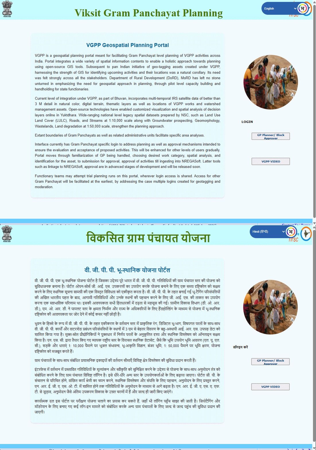
Yuktdhara, the VGPP Geospatial Planning Portal, is a Bhuvan-based geospatial planning platform developed to facilitate Gram Panchayat-level planning of development activities across India. The portal integrates diverse spatial information to support a holistic, evidence-based approach to identifying and planning development activities and their locations.
The platform brings together multi-temporal Indian Remote Sensing (IRS) satellite imagery with better than 3 m spatial detail, digital terrain information, thematic datasets, and locations of existing VGPP works and watershed management assets. National-level spatial datasets, including Land Use/Land Cover (LULC), roads and streams at 1:10,000 scale, along with groundwater prospects, geomorphology, wastelands and land degradation information at 1:50,000 scale, further strengthen the planning process.
Using GIS technologies, Yuktdhara provides interactive visualisation and spatial analysis tools that enable functionaries to examine available information, identify suitable locations for proposed activities, and undertake spatially informed planning. Gram Panchayat and other administrative boundaries facilitate focused analysis for specific areas.
The planning workflow progresses from familiarisation with the Gram Panchayat and selection of work categories to spatial analysis, identification of proposed asset locations, and submission for approval. The platform is being progressively enhanced to support approval mechanisms and integration with NREGASoft.
Importantly, Yuktdhara incorporates a multilingual user interface, making the geospatial planning platform more accessible to functionaries across different regions of the country. This facilitates wider adoption of geospatial approaches in grassroots-level planning.
Yuktdhara demonstrates how satellite data, GIS and geospatial analytics can strengthen rural development planning, enabling informed and location-specific decision-making at the Gram Panchayat level.