
zoominmini  normal zoomout  | English | हिन्दी
 
 
English|हिन्दी

Main navigation

  • Home
  • About Us
    • Organisation
      • About NRSC
      • Organisation Structure
      • Our Founder
      • Our Chairman
      • Our Director
      • Former Directors
    • ISO Certification
    • Achievements & Awards
    • Campuses
    • Contact Us
  • Data Products
    • Indian Missions
    • Foreign Missions
    • Geo Physical
    • Thematic Maps
  • Services
    • Bhuvan Services
    • Data Dissemination
      • Planning and Programming
      • Archived Data Order
      • Foreign Data Dissemination
    • Aerial Services & Digital Mapping
    • International Ground Station Services
    • International Disaster Support
    • EO Calibration Services
    • Satellite Ground Station Services
  • Applications
    • Agriculture
    • Disaster Management Support
    • Forestry & Ecology
    • Geosciences
    • LULC
    • Rural Development
    • Soils
    • Urban & Infrastructure
    • Water Resources
    • Earth and Climatic Studies
  • Resources
    • Atlas
    • E-books
    • Utility Software
    • NewsLetters
    • UIM_2022
  • R & D ACTIVITIES
    • Applications
  • Training & Outreach
    • Training Courses
    • Outreach
    • Student Projects
    • Respond Projects
    • Technology Transfers

Technical Details

  • Overview
  • Applications
  • Sensors
  • Users
  • Portals

Breadcrumb

  1. Watersensors2

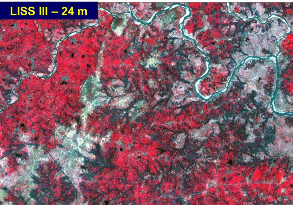
Water Resources

IRS LISS III data is used for estimation of cropping pattern in irrigation command areas

l3


Water Resources

l4

LISS IV

l3

LISS III

aw

AWiFS

Web Portals

Bhoonidhi
search new map
bhuvan

ndem

p1

Bhuvan


p6

Support

  • Contact Us
  • Site Map
  • Feedback
  • Terms and Conditions

Organisation

  • Careers
  • Eprocurement
  • RTI
  • Disclaimer
  • Privacy Policy
  • Tenders

Others

  • VIgilance Administration
  • ISO
  • CHSS Portal
  • ISRO Centres


Version 2.0

Last Updated Date: 26 May, 2023

NRSC, ISRO. All Rights Reserved.