Skip to main content
Toggle navigation
|
English
|
हिन्दी
English
|
हिन्दी
Main navigation
Home
About Us
Organisation
About NRSC
Organisation Structure
Our Founder
Our Chairman
Our Director
Former Directors
NRSC Vision
ISO Certification
Achievements & Awards
Campuses
Contact Us
Data Products
Indian Missions
Foreign Missions
Geo Physical
Thematic Maps
Resources
Atlas
Intellectual Property
E-books
Utility Software
NewsLetters
Technology Transfers
UIM_2024
Brochures
Services
Bhuvan Services
Data Dissemination
Planning and Programming
Archived Data Order
Foreign Data Dissemination
Aerial Services & Digital Mapping
International Ground Station Services
International Disaster Support
EO Calibration Services
Satellite Ground Station Services
R & D ACTIVITIES
Applications
Applications
Agriculture
Disaster Management Support
Forestry & Ecology
Geosciences
LULC
Rural Development
Soils
Urban & Infrastructure
Water Resources
Earth and Climatic Studies
Training & Outreach
INTERNATIONAL UNCSSTEAP
Training Courses
Outreach
Student Projects/Internships
Respond Projects
Breadcrumb
Services
Aerial Services & Digital Mapping
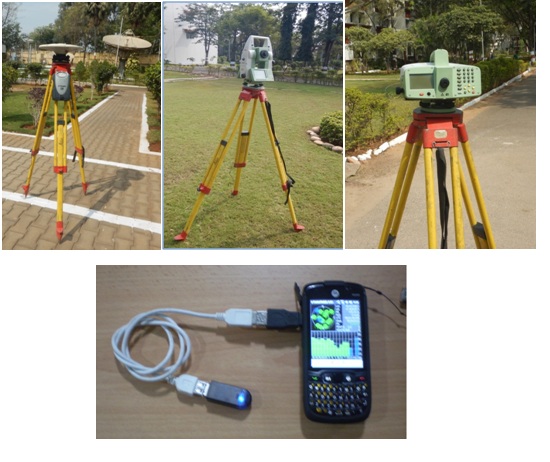
Ground Surveys
Aerial Services & Digital Mapping
Ground Surveys
Web Portals
Support
Contact Us
Site Map
Terms and Conditions
Organisation
Careers
Eprocurement
RTI
Disclaimer
Privacy Policy
Tenders
Others
Vigilance Administration
Web Information Manager
ISO
CHSS Portal
ISRO Centres
Version 2.0
Last Updated Date:
21 July 2025