


 NRSC Establishments
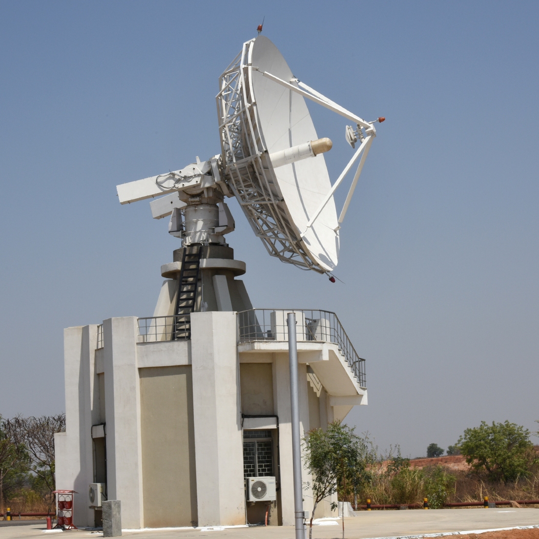 Satellite Data Reception
 Aerial Services & Digital Mapping
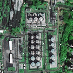 Data Processing &
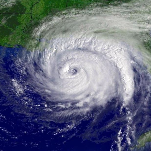 Disaster Management Support
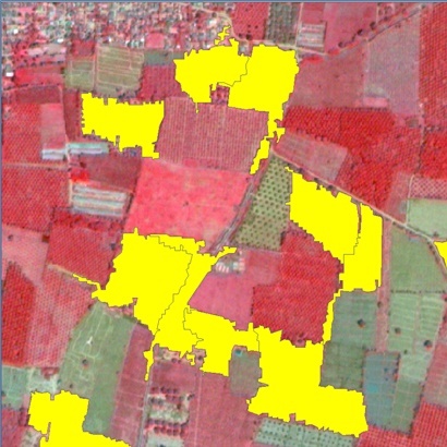 Remote Sensing
 Geospatial Services
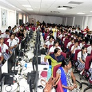 Capacity Building
NRSC Quality Policy
“To excel in promoting enhanced utilization of remote sensing by delivering quality data products, developing value added services and implementing outreach programmes”
National Remote Sensing Centre (NRSC) has the mandate for establishment of ground stations for receiving satellite data, generation of data products, dissemination to the users, development of techniques for remote sensing applications including disaster management support, geospatial services for good governance and capacity building for professionals, faculty and students.
NRSC-RMT-4-2023 dated 09.12.2023 - Candidates may login NRSC APPLICATION PORTAL to view the updated response sheet after redressal of Objections.The link is live from 16 April 2024(1000 Hrs) to 19 April 2024 (1000 Hrs) 
Applicants may note that the closing date of receipt of online applications against advertisement no. NRSC-RMT-2-2024 is now extended till 12.04.2024 (1700 Hrs)
NICES programme - Announcement inviting project proposals from Indian researchers
New Training Courses - 1)Satellite Oceanography 2) Remote Sensing Data Acquisition
Technical Presentations- UIM-2024
Annual Land Use and Land Cover Atlas of India
Recruitment of various Temporary Research Personnel( Advt. No. NRSC-RMT-2-2024, Dt:18.03.2024)
Release of Atlas - Geology from Space
Swachhta Pakhwada campaign at NRSC during 01.02.2024 to 15.02.2024
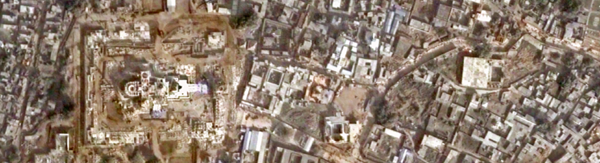
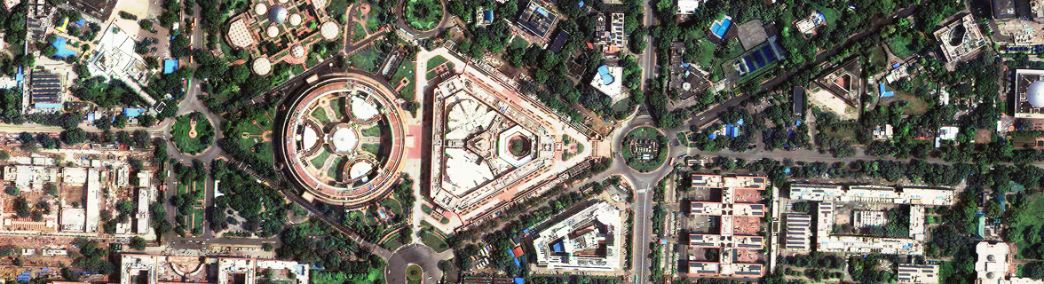
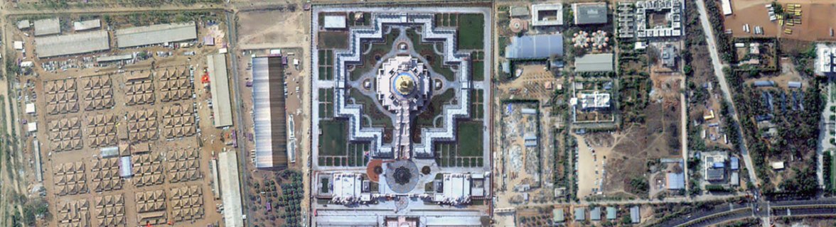
Ayodhya Ram Mandir from Space as viewed by IRS Cartosat Satellite
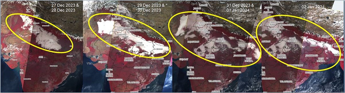
Flood affected areas in ANDHRA PRADESH State during Michaung Cyclone
Flood / Rain affected areas during Michaung Cyclone in Parts of ANDHRA PRADESH State
Flood affected areas in ANDHRA PRADESH State during Michaung Cyclone
Flood / Rain affected areas during Michaung Cyclone in Parts of TAMILNADU State
Flood / Rain affected areas during Michaung Cyclone in Parts of TAMILNADU State
Cartosat 2E and Sentinel 2 Satellite image of 21.10.2023 showing surrounding of South Lhonak Lake
View of South Lhonak Lake from Very High resolution satellite image as on 9th Oct 2023
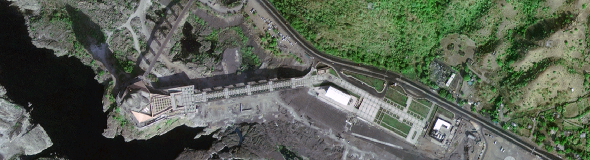
Satellite image of 13.10.2023 showing collapse of Chungthang dam due to flood event on 03.10.2023
Satellite image showing South Lhonak Lake and Surroundings as on 12th Oct 2023
Satellite based observations on impact flood surrounding Chungthang Dam Map-1, Map-2, Map-3
Pre & Post Scenario of South Lhonak Lake as on 10th October 2023 using Resourcesat-2A LISS IV image
South Lhonak Lake outburst - Pre and Post - Date of Issue: 06.10.2023
South Lhonak Lake outburst - Pre and Post - Date of Issue: 05.10.2023
South Lhonak Lake Outburst - Pre and Post Scenario and Its Surroundings Map-1, Map-2, Animated Map
Space on Wheels - Outreach at Vidarbha
Secretary DOS/Chairman ISRO inaugurated NRSC Health Centre at Balanagar on 03-04-2024
53rd National Safety Week celebrations at NRSC on 19.03.2024
Hindi Workshop at RRSC-Central, Nagpur on 19.03.2024
Science day celebrations at Rashtrapati Nilayam, Secunderabad on 26-28, Feb-2024
Swachhta Pakhwada-2024 - Concluding Ceremony on 19.02.2024
Swachhta Pakhwada-2024 at NRSC during 1st February - 15th February 2024
Visit of Chairman ISRO, Secretary DOS to NRSC, Hyderabad on 07.02.2024
Visit of All India Service (IAS) officers to NRSC as part of EPTRI- DoPT Training on 07.02.2024
Visit of officials from College of Air Warfare to IMGEOS, Shadnagar on 05.02.2024
Swachhta Pakhwada-2024 at NRSC during 1st February - 15th February 2024
Republic Day Celebrations at NRSC on 26.01.2024
India International Science Festival (IISF) Curtain Raiser programme Organised by NRSC/ISRO at NRSC, Shadnagar Campus on 8-Jan-2024. View Photos
Visit of Chairman ISRO, Secretary DOS to NRSC, Hyderabad on 05.01.2024
On the occasion of New Year, Director, NRSC addressed the NRSC fraternity on 01.01.2024
“To excel in promoting enhanced utilization of remote sensing by delivering quality data products, developing value added services and implementing outreach programmes”
Version 2.0
Last Updated Date: 24 April, 2024


